Phoenix expecting to see first double-digit high since May 26
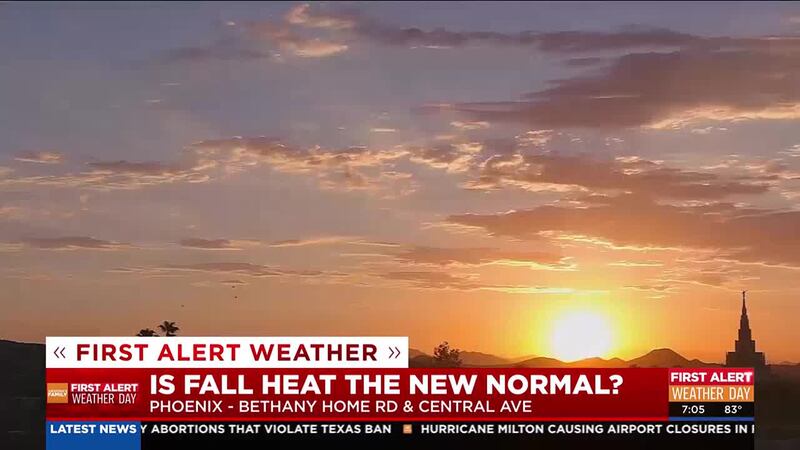
PHOENIX (AZFamily) — After a record-breaking summer, the Phoenix area will finally see a much-welcomed cooldown!
Phoenix Sky Harbor International Airport, the city’s official weather recording site, has seen 113 consecutive days of triple-digit temperatures, which ends Tuesday with a forecasted high of 94 in the afternoon.
“It’s nice to finally see a change in our weather pattern. Because for the most part, all we’ve been dealing with this entire summer has been high pressure aloft,” said Matt Salerno, a meteorologist with the National Weather Service in Phoenix.
The last time Phoenix saw afternoon highs in the 90s was back on May 26. It’s been a long and brutal summer with many new records added, including the most days at 110 or hotter (61 days).
Phoenix also saw 39 mornings with lows only dropping into the 90s. That’s a new record as well.
“It’s so beautiful this morning, we walked out, i don’t know, the humidity seems down, finally, we’ve had such a hot summer, but it feels fresh and cool and just a little big of hints of fall is in the air so it’s an exciting time,” avid hiker Kimberly Rolandson said at Piestewa Peak, as morning temperatures hovered in the 70s.
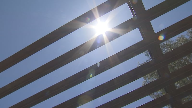
Even though we’ll see a stretch of 90s in the forecast this week, don’t expect the triple digits to be gone for good.
The National Weather Service says while our extreme heat should be done for this year, we will still see a handful of days in the triple digits. Oct. 5 is the average last triple digit day in Phoenix.
See a spelling or grammatical error in our story? Please click here to report it.
Do you have a photo or video of a breaking news story? Send it to us here with a brief description.
Copyright 2024 KTVK/KPHO. All rights reserved.