First Alert Weather Day: Stubborn heat wave begins to ease up in Arizona
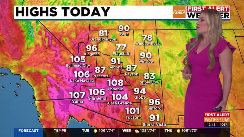
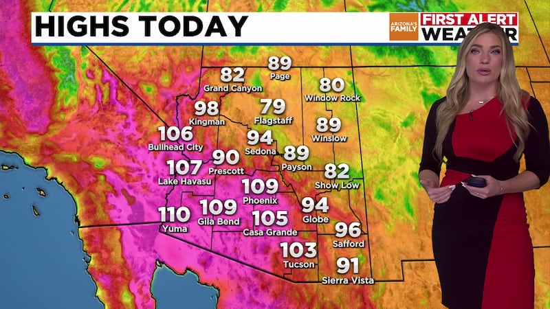
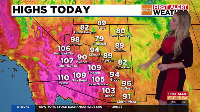
PHOENIX (AZFamily) — It’s another First Alert Weather Day for dangerous heat in the Valley of the Sun. Look for a high of 108 degrees this afternoon, which will set a new record for today’s date.
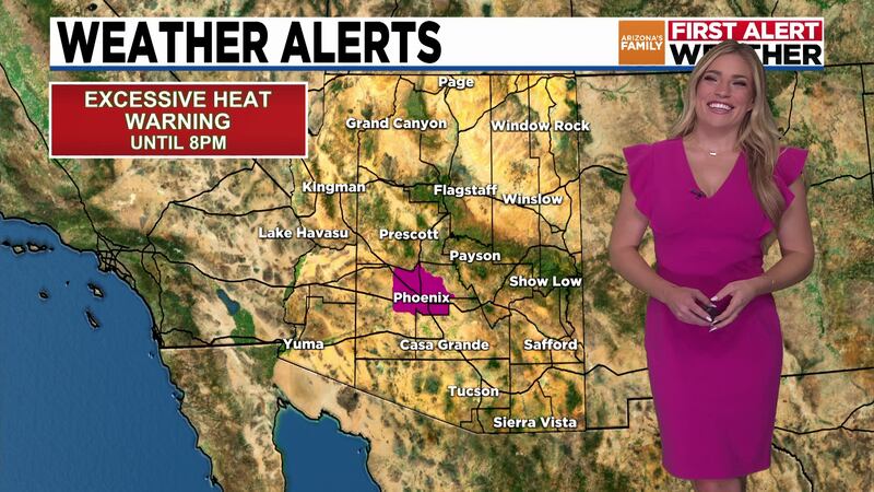
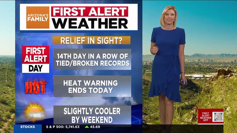
An Excessive Heat Warning remains in place until 8 p.m. for the Valley. Although we won’t get back to normal or average temperatures for this time of year, which would be low 90s, we will see some subtle cooling for the rest of the week.
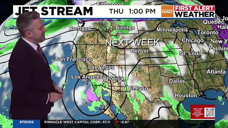
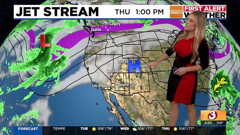
An area of low pressure moving through our region will bring mid and high level clouds to Arizona today and tomorrow, along with a chance of a few sprinkles to the mountains. This low will help to weaken the stubborn ridge of high pressure that’s been parked over Arizona. Look for afternoon temperatures to drop a degree or two each day between now and the weekend.
Expect a high of about 106 degrees in the Valley Wednesday and Thursday, with highs near 104 degrees on Saturday and 102 by Sunday. There are some indications that a stronger storm could bring us even cooler weather by the middle to end of next week, but that’s a ways out. We’ll keep you updated as we get closer and there is more certainty in the changes that could finally bring fall to Arizona.
See a spelling or grammatical error in our story? Please click here to report it.
Do you have a photo or video of a breaking news story? Send it to us here with a brief description.
Copyright 2024 KTVK/KPHO. All rights reserved.